Sedona sits about 4,500 feet above sea
level, situated near the SW corner of the Colorado River basin. The surrounding
red rock mountains extend along northern Arizona and New Mexico, up into southern
Colorado, and west into Utah.
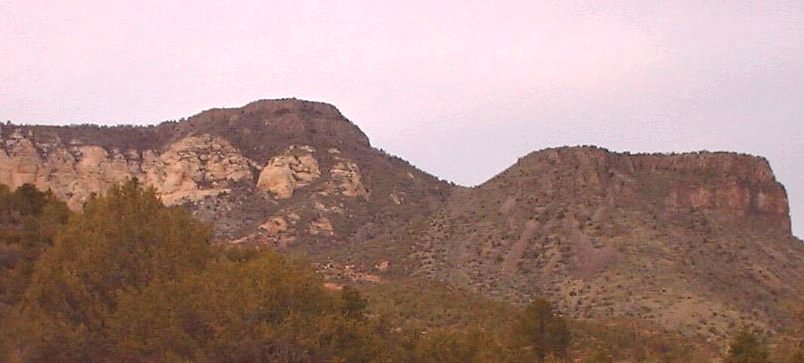
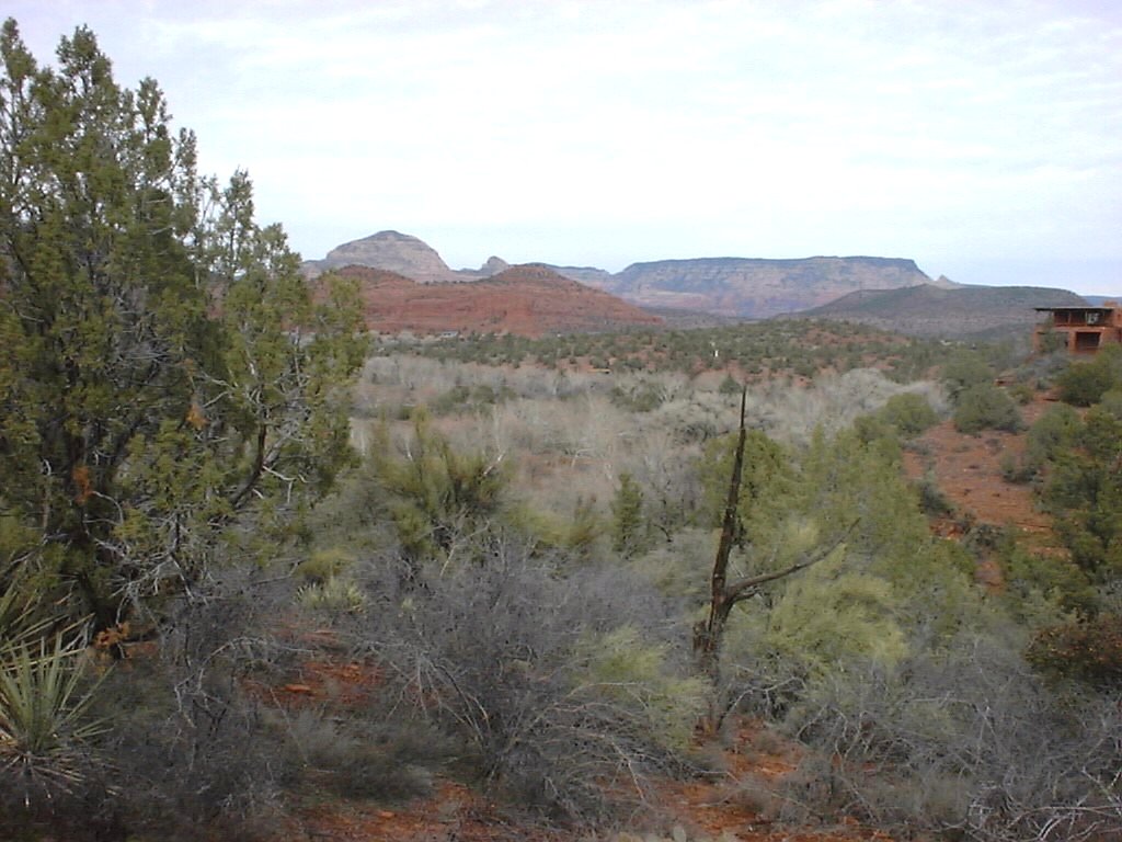
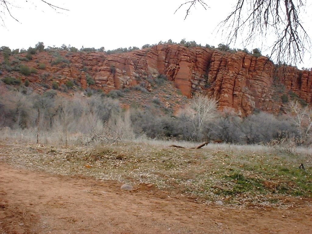
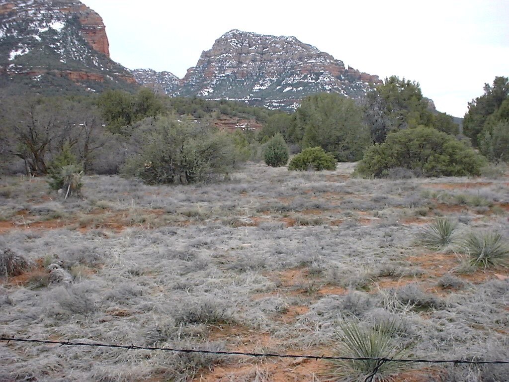
These incredible red clay rock mountains
extend 6 to 7 thousand feet above sea level. Route 89A extends north towards
Flagstaff. This route is absolutely breathtaking as this winding road takes you
through mountain peaks on both sides of the road.
Sedona used to be a quiet little rich
retirement community. Many Hollywood actors own ranches here. Now Sedona has a
population of 17,000 with annual tourists exceeding 5 million.
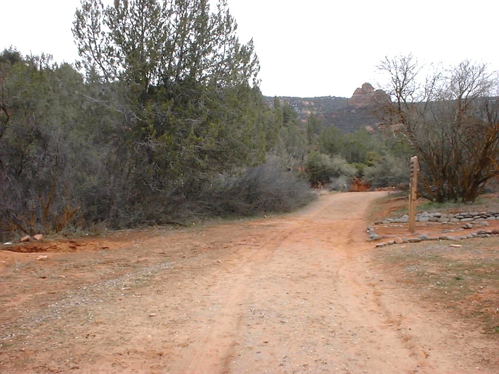
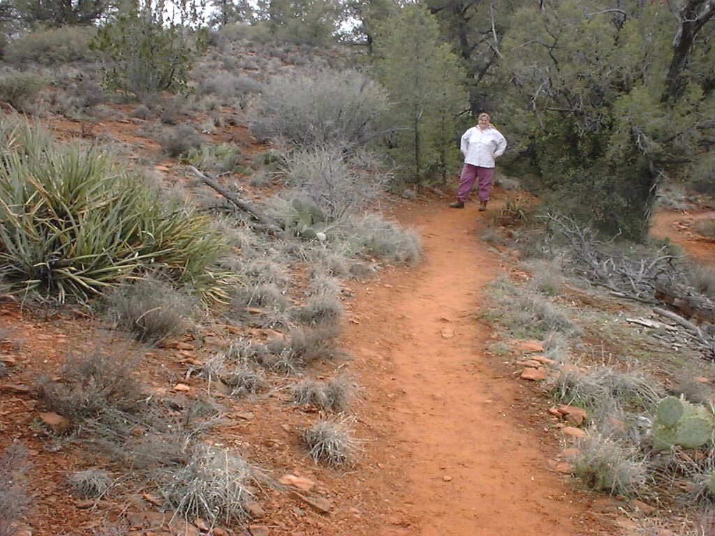
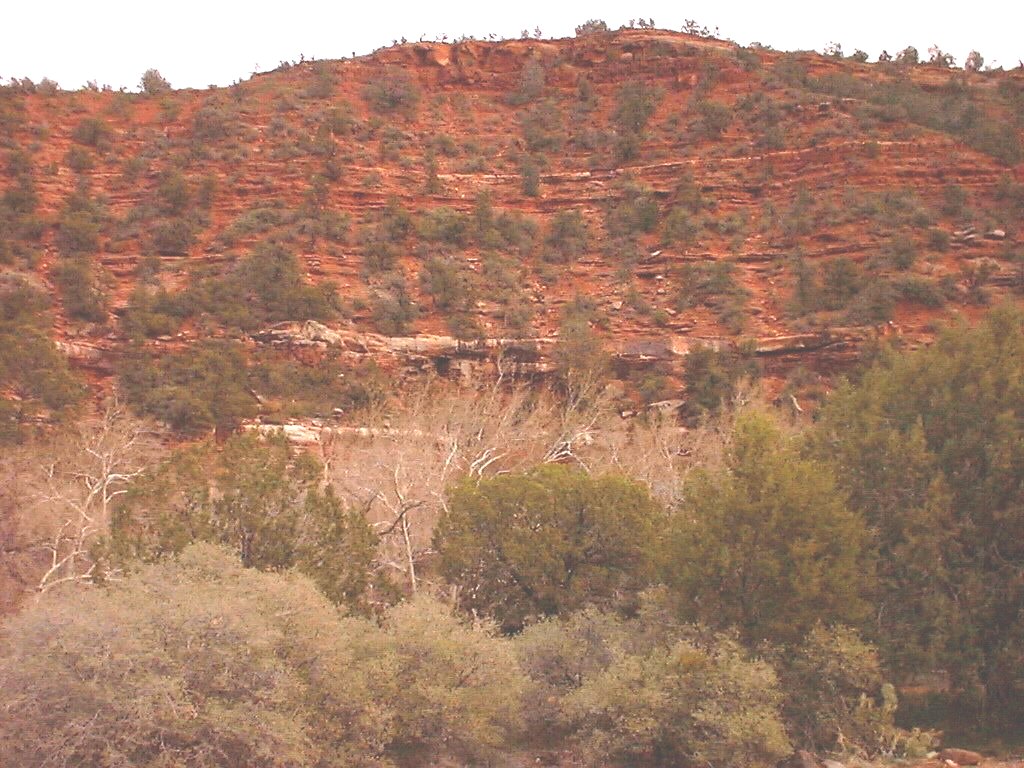
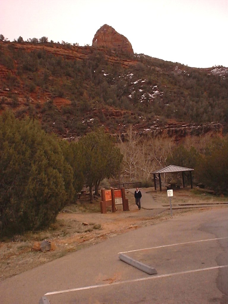
These pictures were taken while Karen and I
hiked through the Red Rock State Park. Located on the lower loop towards western
Sedona, this state park contains several trails each 1.5 to 2 miles.
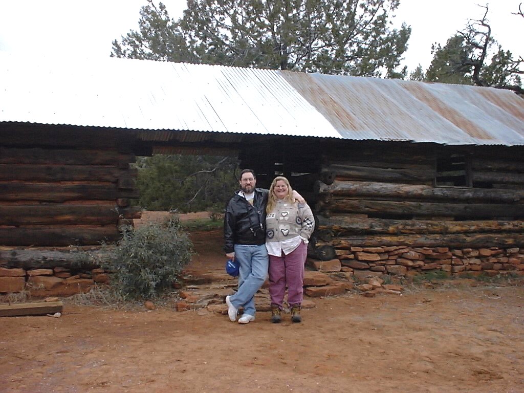
Here is my lovely wife on one of the trails.
This was a required picture so that there would be proof that we actually hiked
these trails.
The red dirt stuck in the grooves of her
hiking boots was also good proof.
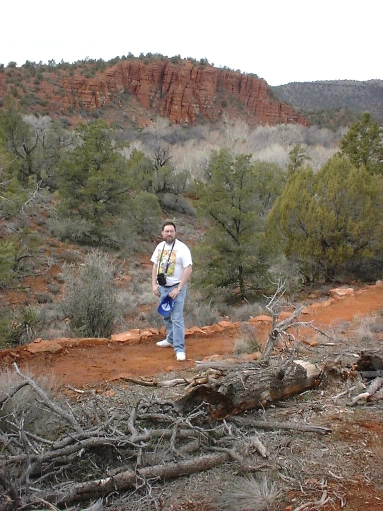
No proof needed here, I just look good.
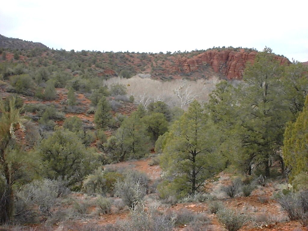
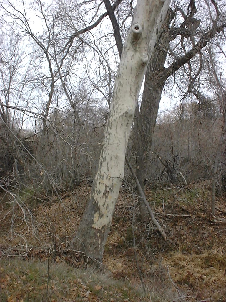
Later we found out that these strikingly white trees are
Sycamores. They looked ghostly, especially since there are no leaves this time of
year.
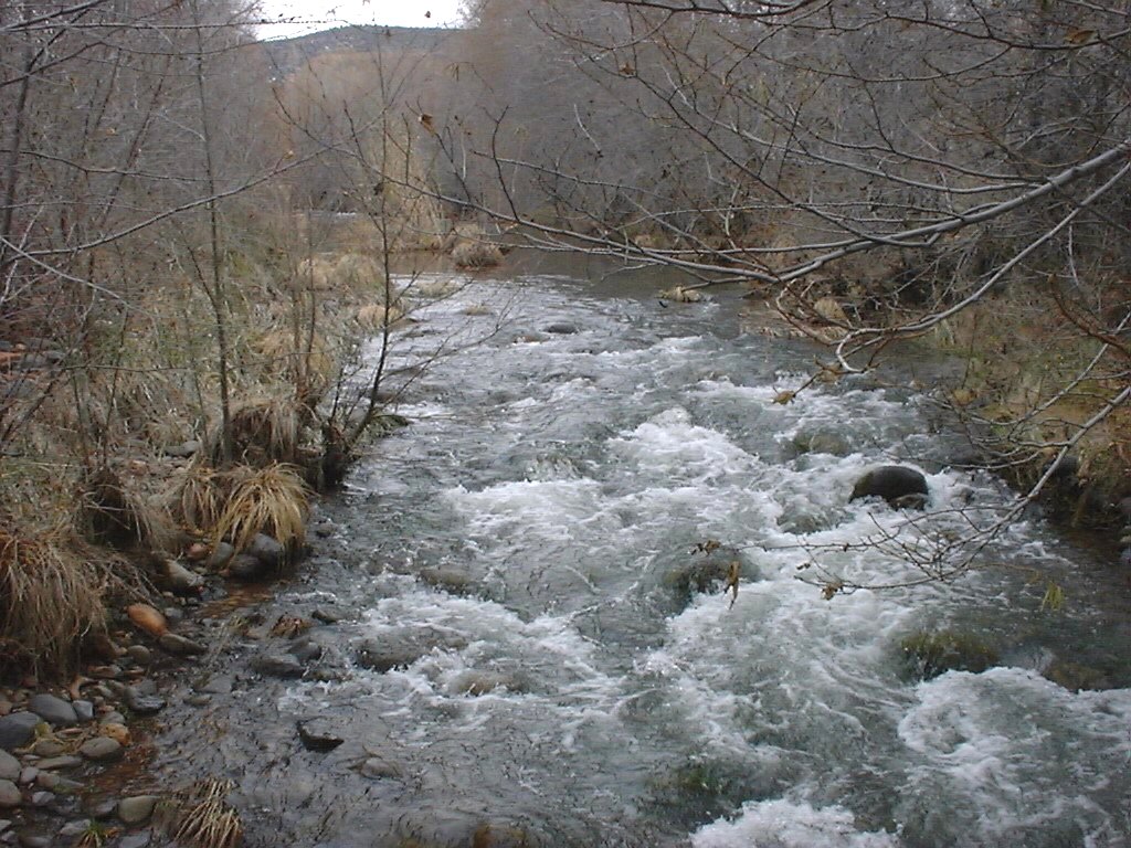
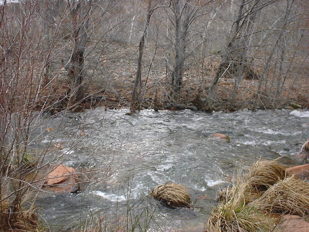
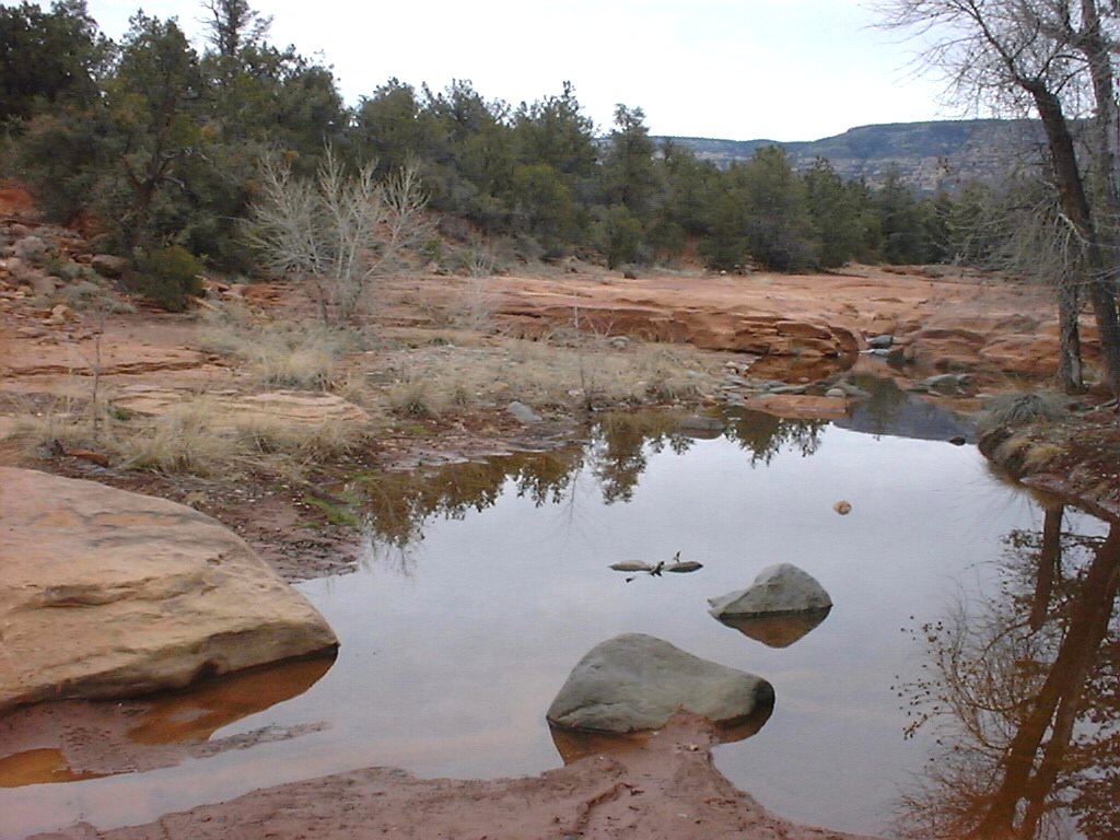
Through the park is Oak Creek. Quite a
lovely body of water that we had to navigate as you'll see.
Don't these people believe in rails?
We had to cross 3 of these lovely little bridges.
Bridges? Uh, more like a narrow path of planks.
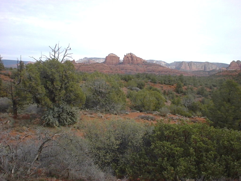
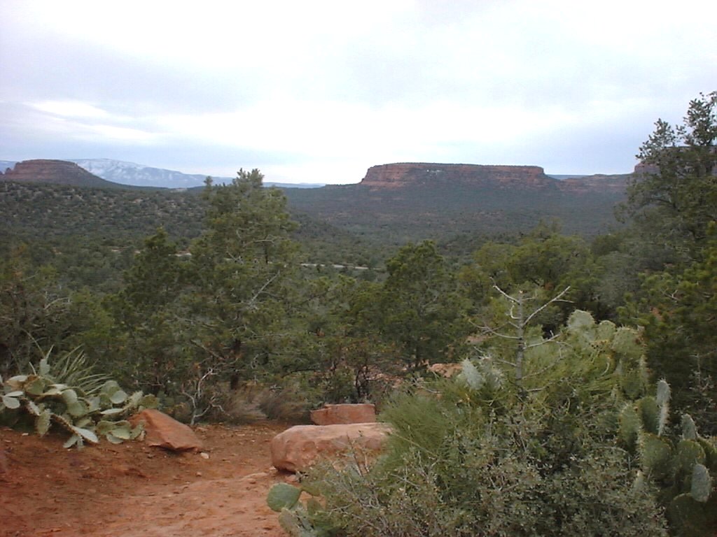
The Western Canyon
We got this last set of pictures while on a Pink Jeep tour
with Richard and Marilyn from Atlanta. Karen offended the reservation clerk by
requesting that we not get stuck in a jeep with screaming children.
We really enjoyed
the Pink Jeep tour and our tour guide, Chard.